Historic Louisville
by Michaella Mullins
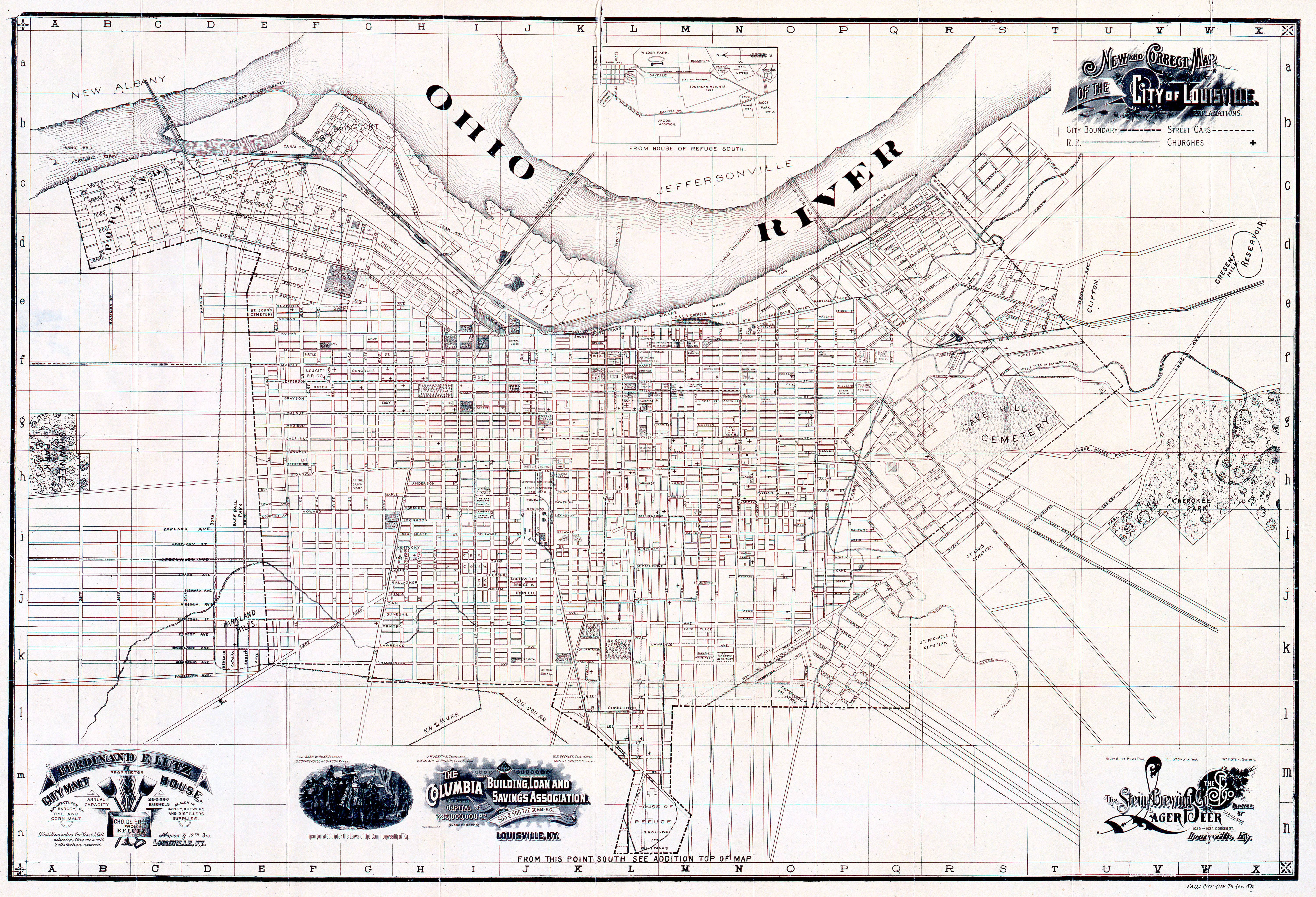
This map shows the historic buildings located in Louisville, KY. The points represent the historic buildings of the city. Zooming in the on the map will reveal a historic map of the downtown area to contrast the current map of the city. This data can be accessed at the Data.LouisvilleKY website. (https://data.louisvilleky.gov/dataset/historic-property).
Tools used in this project
- Data is shown on Mapbox web map with geolocation services enabled. If the map became popular it would require a fee to use.
- GDAL and QGIS 3.2 to convert raster elevation units and create contours.
